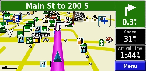
Yes, the Mapsource software does have trails, etc. The one I had with me when we went to the Flats was the Garmin Etrex Vista, and I think I had the Topo maps loaded, iirc. Its pretty good for trails and such, but sometimes it seems that maybe there are newer trails that aren't on the maps yet. And you definitely can't tell from the GPS if you are headed down a trail that has been washed out like the one we ran into.

The thing to think about with the Garmins is that they use proprietary software (that being MapSource) and no other software will work with a Garmin (as far as I know).

I chose the Etrex Vista CX because it was the best handheld they made at the time, might still be. Its got a very clear color screen, and its pretty easy to use. Also, it has a compass on it that does not require you to be moving to work (I guess some of the lesser models require you to me moving to get a compass reading). I like it because it has altitude readings on it too, so I can always tell how high up I am. It also stores your "record" altitude. Mine right now is about 11,500 feet or something like that.

Currently, I am on the hunt for some good Map software that will work with my Garmin that I can use in Japan....I'm not having much luck though

Bart