
I have the Garmin Vista (25 gig), Rhino 120 (8 gig), and the Rhino 110 (1 gig). I use the MapSource United States Topo. I comes with three CDs (Eastern U.S., Western U.S., Alaska and Hawaii). If I'm not mistaking, it was about $100 at REI.
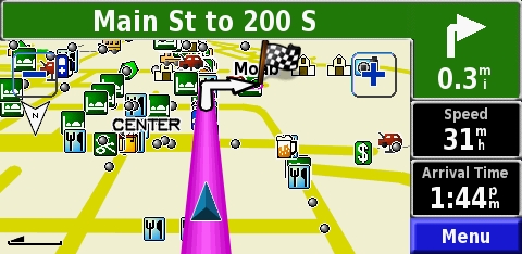
When I went to Moab this year I mounted my Rhino 120 on the blank button near the cruise control. I was able to download all the maps from Northern New Mexico to Moab, Utah.
It worked out really well.
Peace.
Tom
"Through Great Sacrifice..... Great Rewards Will Be Achieved"


 Reply With Quote


 .
.
 ), etc...


